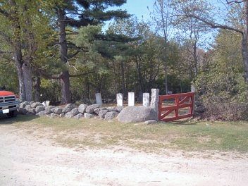
At the corner of Mill St and Bear Hill Rd, proceed on Bear Hill Rd for 1.9 miles. Cemetery is on Right. Entrance has a green iron gate.
From W. Main St, take a right on Beard Brook Rd., Proceed for about .7 mile. Just before the bridge, entrance on the right. Walk up the hill for about 1500 ft., cemetery is on the left.
At the corner of West Main and Church Streets, proceed on Church St. for about 200 ft. Cemetery entrance is on the left sitting back about 200 ft. between the houses.
North on Center Rd on the left between Rosewald Farm and Intrepid Farm.
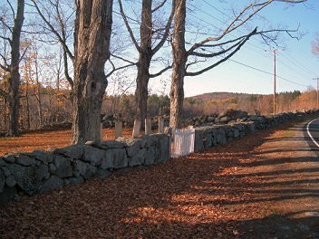
At house #408 Beard Brook Rd, left side. Gravestones are at the right side of lot next to the road.
At Hillsboro Lower Village proceed north from Rt. 9 on Rt. 31 through Hillsboro Upper Village, take right onto Cooledge Rd. Stay on Cooledge Rd to .10 miles past Lachut farm. Cemetery is on the right on a knoll.
From the corner of Bog Road and Gould Pond Road proceed north on Bog Rd 2.9 miles to Carter Hill Road for .1 miles. Cemetery is on the left.
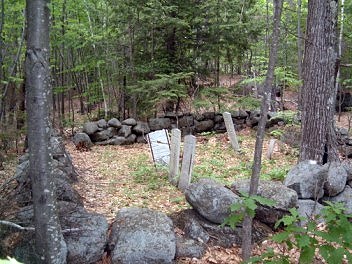
In use from 1815 to 1878.
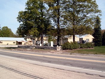
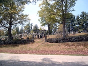
On West Main Street located on the right side headed west opposite Wyman's Chevrolet.
Take School St. north from W. Main St. School St. becomes Center Rd. Continue north to Concord End Rd. on the right just past Fox State Forest entrance. Follow Concord End Rd for.5 miles. Cemetery is on the right.
At Hillsboro Lower Village, proceed north from Rt. 9 on Rt. 31 to Shedd Rd on the right approx .3 mile. Turn right onto Shedd Rd and proceed approx .2 miles. Cemetery is on the right.
North on School St. to Center Road to Hillsboro Center. Turn left onto East Washington Road approx .2 mile. Cemetery on right at top of hill.
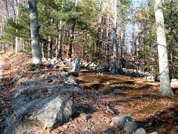
In use from 1819 to 1976.
From the corner of Bog Road and Gould Pond Road, proceed west on Bog Road 2.9 miles to Carter Hill Road. At the corner of Carter Hill Road and Sand Knoll Road, proceed up Sand Knoll Road .4 miles, bear left onto Kimball Road for .5 mile. Cemetery is on the right.
In use from 1819 to 1855.
Drive north on School St to Center Rd. to Hillsborough Center. Proceed right on to North Rd. Cemetery is at the intersection of North Rd. and Kimball Rd.
At Hillsboro Lower Village, proceed north from Rt. 9 on Rt. 31 approx .3 mile. Turn left onto Atwood Rd. Cemetery is on the left.
Follow School St. to Center Rd. to North Rd. Stay on North Rd. to Flint Rd. Take right on Flint Rd. for 2/10th of a mile. Cemetery is on left side of road.
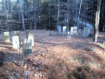
was in use from 1788 to 1976.
At Hillsboro Lower Village, proceed north from Rt. 9 on Rt. 31 approx .3 mile. Turn left onto Atwood Rd. Cemetery is on the left beyond Maple Ave. Cemetery.
Off Preston Street at Grimes Field next to the maintenance building.
North of Hillsboro Center on Center Rd. to County Rd. to house #358 on left. Cemetery is beyond #358 a short distance on right.
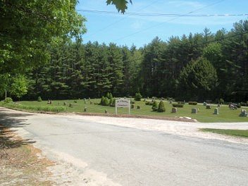
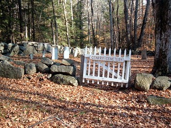
Although unable to verify at this time, it appears that this cemetery is named for ST. CHARLES, the patron saint of learning and the arts.
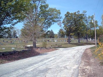
In use from 1956 to present.
At Hillsboro Lower Village, proceed north from Rt. 9 on Rt. 31 approx .3 mile. Turn right onto Shedd Rd. Cemetery is on the right beyond Harvey Memorial Cemetery.